Navigate Cross State Trails with Ease
Embark on unforgettable journeys with expertly crafted trail maps designed to inspire exploration and connect adventurers to breathtaking landscapes.
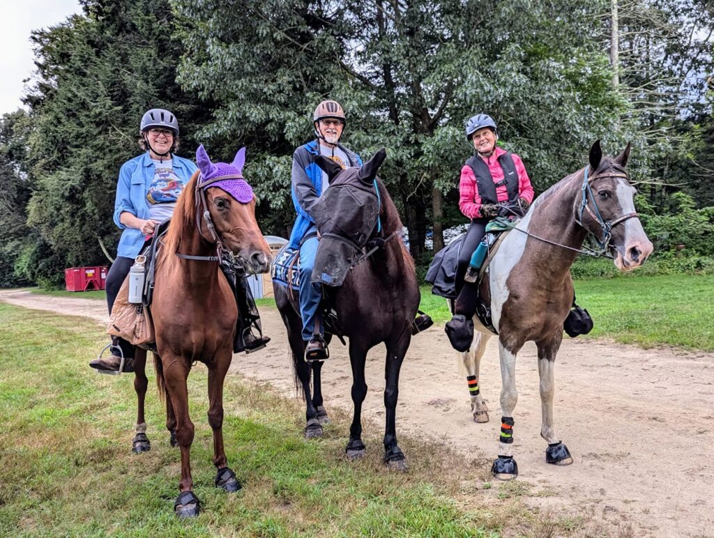
CSTR 2025 June Ride
(these CSTR trail maps begin and end on private property and are not intended to be shared outside our club membership) Marshfield, VT
Peacham Pond Loop (11mi)

Telephone Trail Ride (10¾mi)

There and Back Again (8½mi)

GPX map data works with most popular trail apps such as AllTrails, Gaia, MapMyRide, Caltopo, Trailforks, Garmin Basecamp, to name a few.
The three trail maps are already loaded into AllTrails:
https://www.alltrails.com/lists/cstr-2025-spring-ride-test-7cc5a75
- AllTrails only supports loading GPX data using their web interface.
- GAIA mobile app should recognize GPX files and load them directly.
- To load a GPX file into MapMyRide (now MapMyFitness), you need to visit their web site MapMy Import Page and tap “Choose File.”
- Unfortunately Equilab only exports GPX files and cannot import them.
- The QR code on the corner of the maps is only useful if you have a Caltopo account.